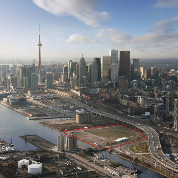
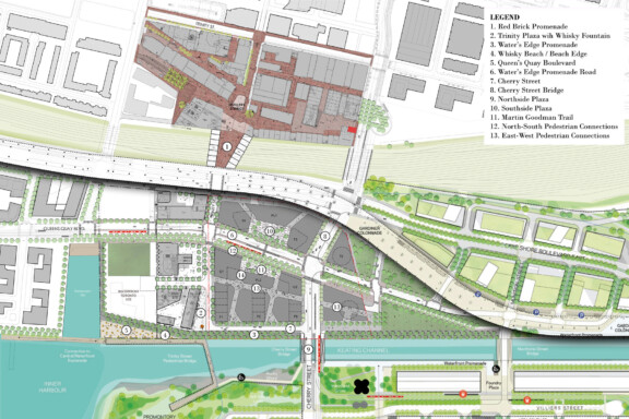
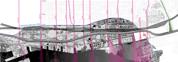
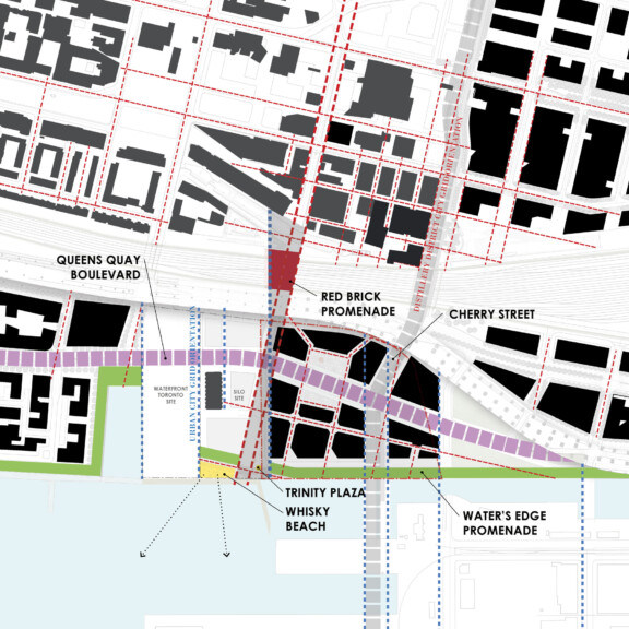
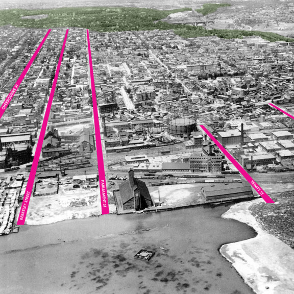
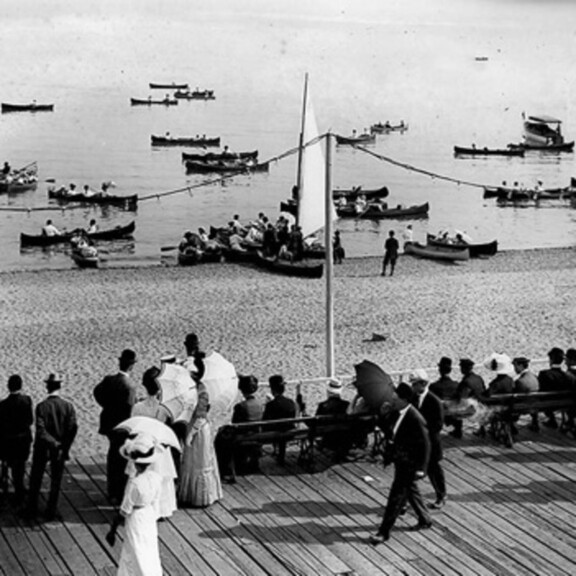
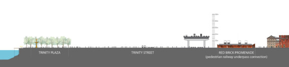
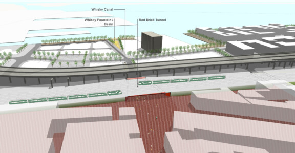
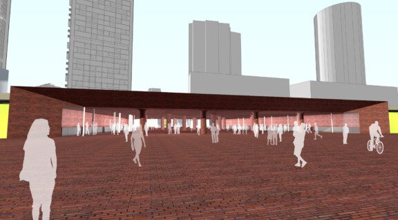
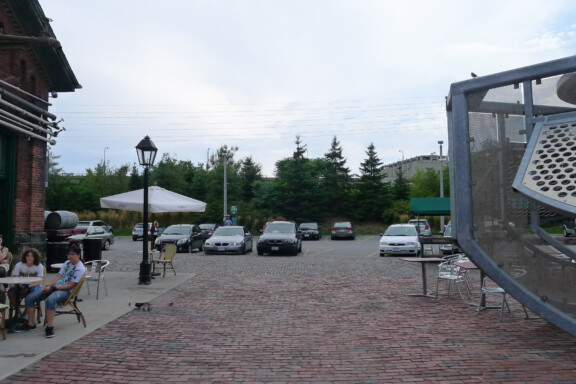
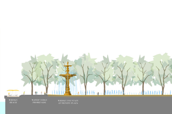
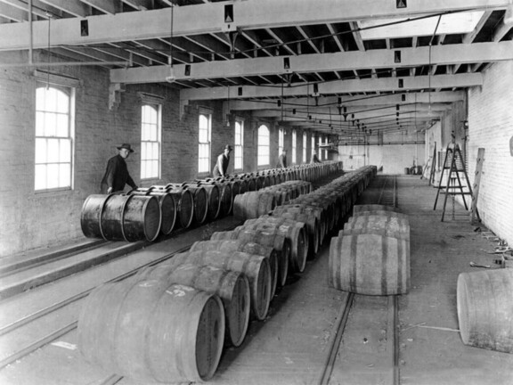
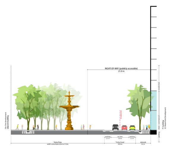
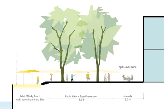
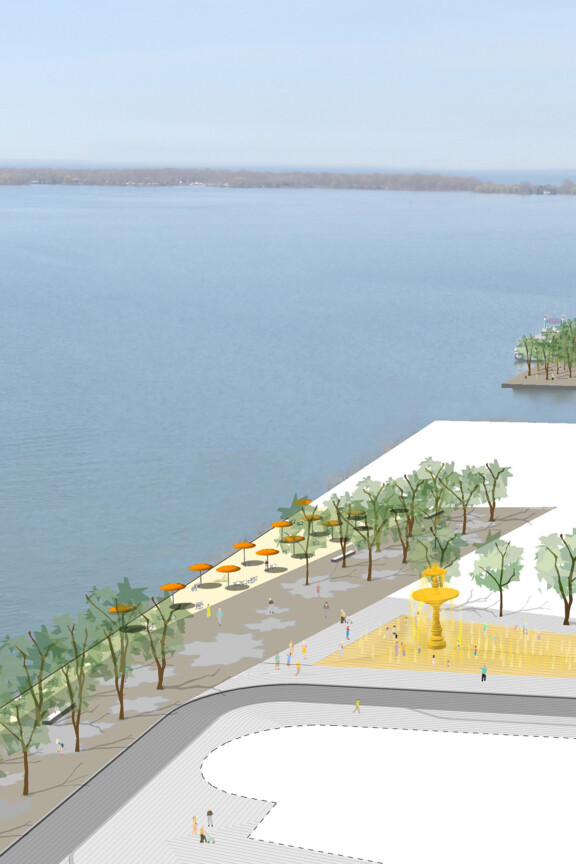
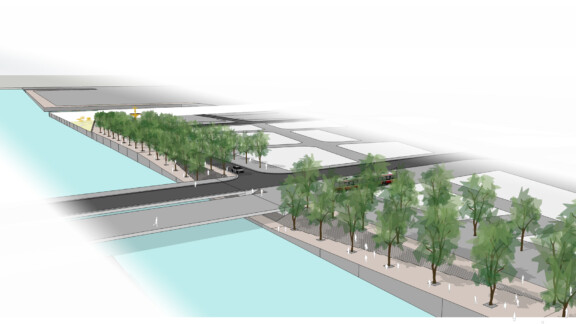
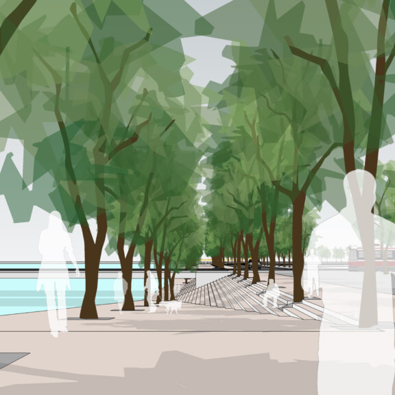
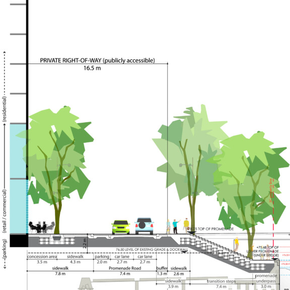
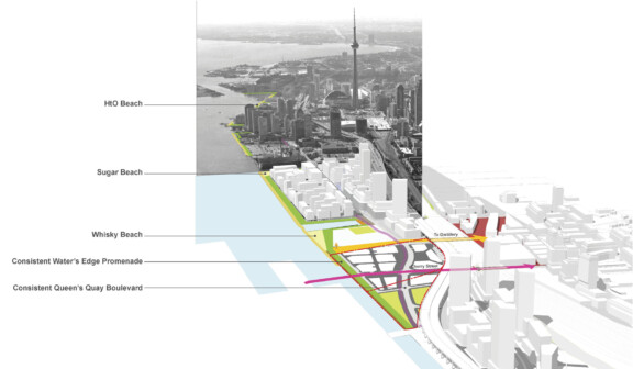
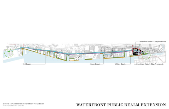
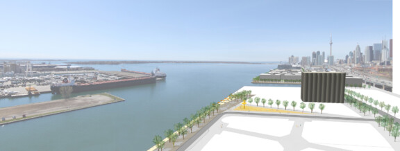
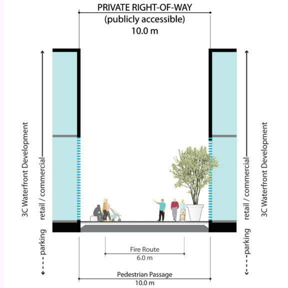
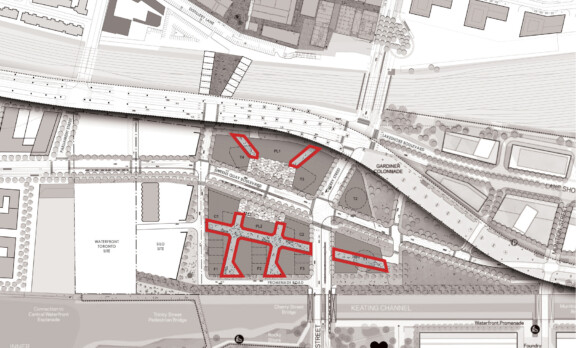
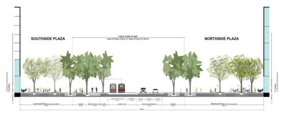
3C Waterfront + Conditions existantes, vue aerienne – Source inconnue Toronto (Ontario), Canada2010 – 2020 Projets (89) Description complète + Plan directeur du domaine public – CCxA + Plan d’intégration à la grille urbaine – CCxA + Opportunités d’espaces ouverts – CCxA + Toronto, 1927 – Fairchild Aerial Surveys/Archives of Ontario + Scarborough Beach Park Boardwalk, 1910 – Archaelogical Services inc. + Coupe de l’axe Trinity – CCxA + Axe Trinity – CCxA + Promenade Red Brick – CCxA + Condition existante – CCxA + Coupe de la Trinity Plaza – CCxA + Bouteille de Whisky – Source inconnue + The Distillery Historic District – thedistillerydistrict.com + Coupe de la Trinity Plaza et de la rue Trinity – CCxA + Coupe de Whisky Beach – CCxA + Whisky Beach – CCxA + Water’s Edge Promenade – CCxA + Water’s Edge Promenade – CCxA + Coupe de la Water’s Edge Lower Promenade – CCxA + Extension du domaine public du Waterfront et séquence de plages – CCxA + Un Waterfront cohérent (basé sur le plan directeur de West 8 + DTAH, Toronto Central Waterfront, 2006) – CCxA + Whisky Beach et la Water’s Edge Promenade – CCxA + Coupe d’une rue piétonne – CCxA + Plan des rues piétonnes – CCxA + Coupe à travers la place publique centrale – CCxA